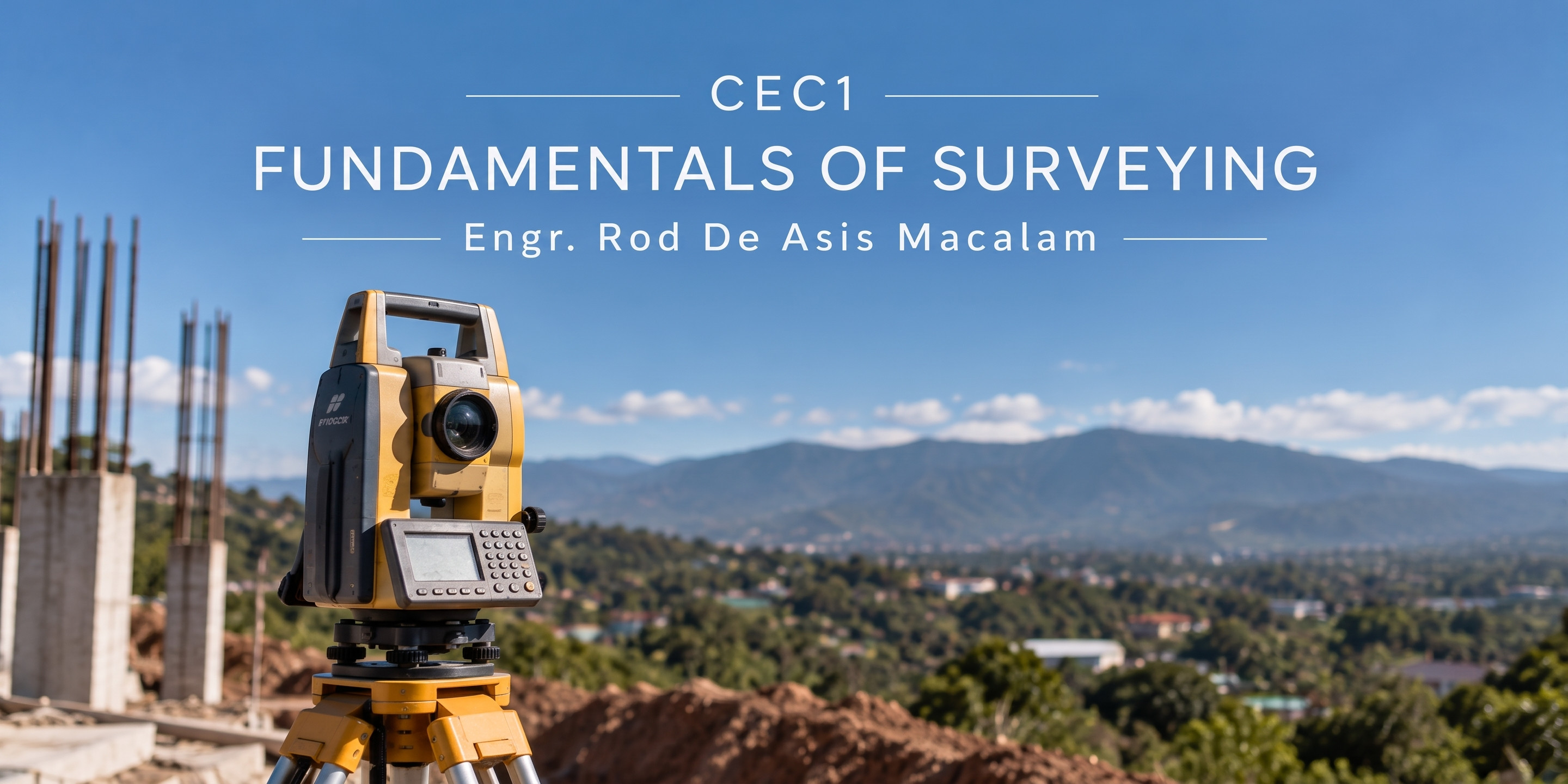
This course deals with: Measurement of distance and distance corrections, the use of surveying instruments, area computations, balancing the traverse, elevation determination, and leveling. Stadia surveying, topographic surveying, triangulation and trilateration, missing data, irregular boundaries, and the global positioning system.
- Teacher: ROD MACALAM